Open City: Castle Clinton, Manhattan

BY | Posted on | FILED UNDER Categories Manhattan, Open City

Located at the southern tip of Manhattan Island, Castle Clinton represents not only the growth of New York City, the the growth of a Nation. First intended to keep out a British invasion in 1812, the Castle has transformed over the years to welcome theater goers, immigrants, sightseers and now millions of visitors to New York Harbor.

For more information: http://www.nps.gov/cacl

Audile: New Asha Sri Lankan Restaurant, Staten Island

BY | Posted on | FILED UNDER Categories Audile, Diglot, Staten Island

A few nights ago, I drove to Staten Island to look for one of our city’s most dynamic ethnic communities. Between 4,000 and 5,000 Sri Lankans live on the island, and they have worked hard to preserve as much of their culture as possible. While I sat eating fish, lentil cookies and vegetable pastries, I noticed that this small, steam table restaurant is far more than a place to buy a meal. Over the course of our one-hour meal, at least 20 people popped in to pick up some much needed snacks from the restaurant’s owner, a much loved, utterly charismatic woman who stands like a gracious queen behind her counter. The neighboring grocery store is equally friendly, functioning as a Sri Lankan sundry for most of its customers and a sort-of anthropological museum for the few other people who happen to stop by. If you listen to our audile recording, you will hear the owner of the grocery welcoming his customers.

New Asha Sri Lanka Restaurant, Staten Island

Audile: Hua Mei Birds, Chinatown, Manhattan

BY | Posted on | FILED UNDER Categories Audile, Manhattan

While listening to “All Things Considered” this afternoon on WNYC a brief but fascinating segment came on about Hua Mei birds in Chinatown. With a little further research it seems that it has been an ongoing activity for owners of these songbirds to bring them to Sara Delano Roosevelt Park most every morning.

It is now at the top of my list to make a stop downtown this week to record the chirping for audile.

Welkin: Astoria, Queens

BY | Posted on | FILED UNDER Categories Queens, Welkin

Con Ed Towers

Locations:

33rd Street @ Ditmars Blvd (visual)
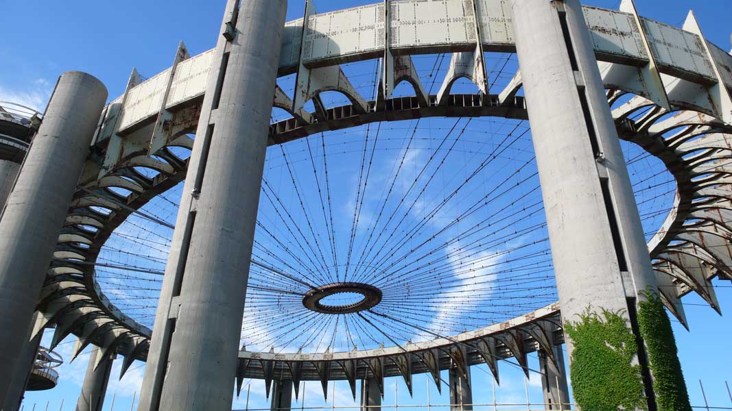
Hellgate Bridge (visual)
24th Street @ Ditmars Blvd (visual)
ConEd Plant @ 19th Ave (visual)
Immaculate Conception Church, 29th St @ Ditmars Blvd (audio)

There is surprisingly little to be found on google about the term welkin. It is an archaic word meaning “the sky” and is rarely used in modern language except for in the phrase “to make the welkin ring,” meaning to cause a loud noise. It is also the name of a death metal band and a computer systems corporation based in North Virginia. Susan pointed out that the origin of the word comes from the Old Enlgish “Wolcen” and directed me to a wolcen-themed blog, which you readers may enjoy

http://www.wolcen.blogspot.com/

Back to welkin. The bare-basic concept of my entry for welkin is to introduce my neighborhood through a series of tranquil shots, panning across the area skyline as viewed from my old balcony and my current apartment. At the moment we transfer to video, I hope to illustrate the act of making the welkin ring, disrupting the serene mood with the abrasive intrusion of bells and lightning, symbolizing the pace of (not necessarily welcome) change in this city.

Getting the audio cut to my liking proved to be a bit of a challenge. I wanted to record the bells of the Immaculate Conception Church- a goal I’ve had in the back of mind for three years and have only now found an excuse to try. I really hate being seen doing my creative work, so I wasn’t about to go all-out dragging a microphone over to the church, I didn’t even go in to the church, rather I took my handheld dv camera, found a spot on the back stoop, and hit “record.” Consequently, I had every person I turned to for audio design assistance gripe about the poor quality of my recording. I can’t argue that fact, but there was something important to me about capturing an honest depiction of things as I hear them which is why I like my results. You never hear just one sound at one time in this city. You have to master the art of tuning out the static and hearing what’s soothing. If you do this here you will find that, despite the background chatter and traffic, there is beautiful music being played.

This piece is in many ways symbolic of my current relationship with New York. In considering leaving I’ve also been forced to consider what I will miss if I leave. I know that as long as I live within the five burroughs, I’ll want to live in Astoria. It’s been a source of serenity for me in the years that I’ve lived here and I find it very aesthetically pleasing. The problem I’m having lately is that I find my serenity being disrupted more and more lately by the sight of walking attitudes with bad haircuts, wide-eyed recent graduates from the Midwest, and yuppie couples hogging the sidewalk. It’s not overwhelming yet, but it’s a noticeable evolution that’s really been getting under my skin. I’m the first to admit that my misanthropic aversion to my own demographic is somewhat odd, but I stand by my love of old people and families and my desire to live quietly amongst them. When the panoramic view of my neighborhood skyline is disrupted by the electrical storm it is representative of what I have considered an unwelcome intrusion into my peace of mind.

still2.png

Selenography: Definition

BY | Posted on | FILED UNDER Categories Definition, Selenography, Words

Selenography: The study of the surface and physical features of the Moon. Historically, the principal concern of selenographists was the mapping and naming of the lunar maria, craters, mountain ranges, and other various features. This task was largely finished when high resolution images of the near and far sides of the Moon were obtained by orbiting spacecraft during the early space era. Nevertheless, some regions of the Moon remain poorly imaged (especially near the poles) and the exact locations of many features are uncertain by several kilometers. Today, selenograhy is considered to be a subdiscipline of selenology, which itself is most often referred to as just “lunar science.” The word selenography is derived from the Greek lunar deity Selene-ography (to write).

Open City: Fort Totten, Queens

BY | Posted on | FILED UNDER Categories Open City, Queens

Construction began on Fort Totten in 1862 after the land was purchased by the U.S. Government in 1857 from the Willets family. The fort sits on Willets Point, near Bayside in Queens County, New York. The original purpose was to protect the East River approach to New York Harbor, along with Fort Schuyler, which faces it from Throgs Neck on the opposite side of the river entrance. The fort was named in 1898 after Joseph Gilbert Totten.

In 1954, the fort became a Project Nike air defense site. Although no missiles were located at Fort Totten, it was the regional headquarters for the New York area; administrative offices and personnel housing was located at the fort. Fort Totten was also the headquarters for the 66th Anti-Aircraft Missile Battalion, Battery D, whose missiles where located at nearby Fort Slocum on Hart Island. This use of Fort Totten was discontinued in 1974.

Much of the fort has become a public park and is open to the people of NYC for tours by the New York City Department of Parks & Recreation. During the winter months, a large variety of migratory waterfowl can be observed in the surrounding Long Island Sound and Little Neck Bay. Most of the buildings are now run-down and not used. Fort Totten is also a sports complex, as it holds baseball fields and three soccer fields used for youth soccer.

A Walk Back in Time

Date: Saturday, Aug 04, 2007 | 2:00 p.m. – 3:30 p.m.

Come tour the catacombs of Fort Totten, built during the War of 1812 to protect New York’s Harbor

Location: Fort Totten Ranger Station, Fort Totten Park

Visit Fort Totten website >>

Read full Wikipedia article >>

  • “Fort Totten, New York.” Wikipedia, The Free Encyclopedia. 17 Mar 2007, 19:33 UTC. Wikimedia Foundation, Inc. 25 Jul 2007.

Open City: Fort Schuyler, The Bronx

BY | Posted on | FILED UNDER Categories Bronx, Open City

Fort Schuyler is a preserved 19th century fortification in the New York City borough of The Bronx, that houses a museum, and the Marine Transportation Department and Administrative offices of the State University of New York Maritime College. It is considered one of the finest examples of French-style fortifications. The fort was named in honor of Major General Philip Schuyler of the Continental Army. It is listed on the National Register of Historic Places.

Fort Schuyler was one of many forts built along the east coast of the United States in the aftermath of the War of 1812 when it became brutally apparent that the US coast was poorly defended against foreign invasion. Fort Schuyler was dedicated in 1856 after only 75% completion, and was strategically positioned to protect New York City from naval attack through Long Island Sound; guarding the eastern entrance to New York Harbor. It is located at Throgs Neck in the southwest portion of the Bronx at a point where the East River meets Long Island Sound. Fort Totten faces it on the other side of the river. Their naval batteries created a bottle-neck of defenses against ships attempting to approach New York City. Fort Schuyler, at its peak, boasted 440 guns. Later, it would be fitted with various other pieces throughout the ever-modernization of coastal defense artillery, once including 10″ and 12″ naval guns on disappearing carriages installed on the roof and on the peninsula around the fort. Coastal artillery emplacements at the fort lasted until 1935.

Read full Wikipedia article >>

Visit the Maritime Industry Museum web site >>

Fort Schuyler

  • “Fort Schuyler, Bronx.” Wikipedia, The Free Encyclopedia. 4 Jul 2007, 21:18 UTC. Wikimedia Foundation, Inc. 25 Jul 2007.
  • Image courtesy of The State University of New York Maritime College, Stephen B. Luce Library. http://www.sunymaritime.edu.

Foudroyant: Coney Island, Brooklyn

BY | Posted on | FILED UNDER Categories Brooklyn, Foudroyant

From the first moment that I heard about the imminent closing of Brooklyn’s Coney Island, I knew that this dinosaur of amusement parks would have to become a part of our artistic exploration of New York City. With my husband, filmmaker Mark Street, I take my two daughters for an evening of old-fashioned spinning, twisting and topsy-turvy merry-making Coney Island style. With the notion of capturing a foudroyant sensation with my camera, I point my lens at the explosive visual activity happening around me. I think about the desire we all have to share in this other-worldly, anti-gravity sense of being absolutely out of control.

Governors Island, Manhattan

BY | Posted on | FILED UNDER Categories Manhattan, Open City

At the confluence of the Hudson and East Rivers, in New York Harbor, sits Governors Island. A mystery to most New Yorkers, the Island served as the longest continuously active military post in the United States, from 1794 until 1997.

Governors Island Map

  • w:Governors Island U.S. General Services Administration map; indicates U.S. Coast Guard usage, 1995.